Leveraging Data to Drive Informed Decisions for Watershed Health
Explore the diverse data sources powering Dex-Terity platform. These datasets, spanning local to federal levels, include water quality metrics, pollutant releases, and demographic data, enabling comprehensive analysis and prediction. By leveraging open and accessible data, we aim to support informed decision-making for sustainable water resource management.
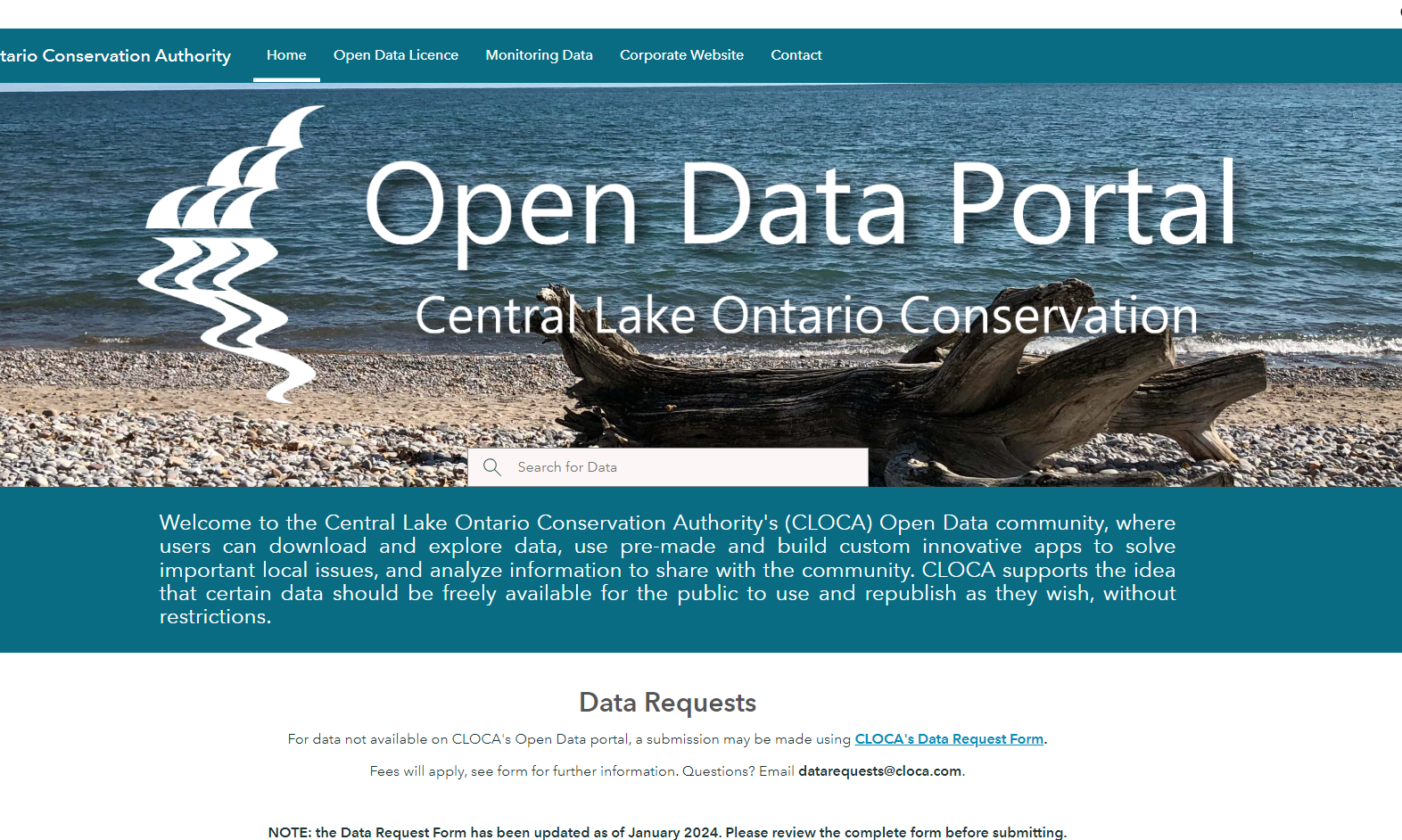
CLOCA Water Quality Data
Central Lake Ontario Conservation Authority's (CLOCA) Open Data portal allows users to download data and use pre-made and built custom innovative apps to solve important local issues. This dataset includes metrics on water quality, land cover, hydrology, and other factors.

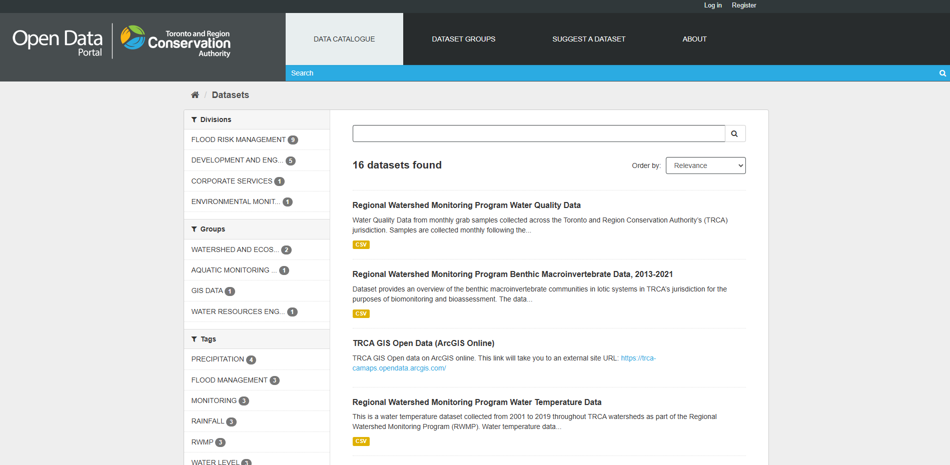
TRCA Water Quality Data
The TRCA Open Data platform, provided by the Toronto and Region Conservation Authority, offers public access to a wide range of environmental data related to conservation and resource management. Users can explore the Data Catalogue to find datasets on topics like precipitation, flood management, and aquatic monitoring. The site features popular datasets, including waterfront fish data and GIS open data available through ArcGIS Online.
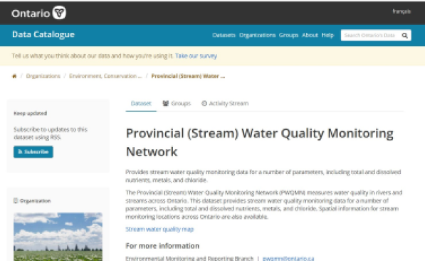
Provincial Water Quality Monitoring Network Data
The Provincial (Stream) Water Quality Monitoring Network (PWQMN) measures water quality in rivers and streams across Ontario. This dataset provides stream water quality monitoring data for a number of parameters, including total and dissolved nutrients, metals, and chloride. Spatial information for stream monitoring locations across Ontario are also available.
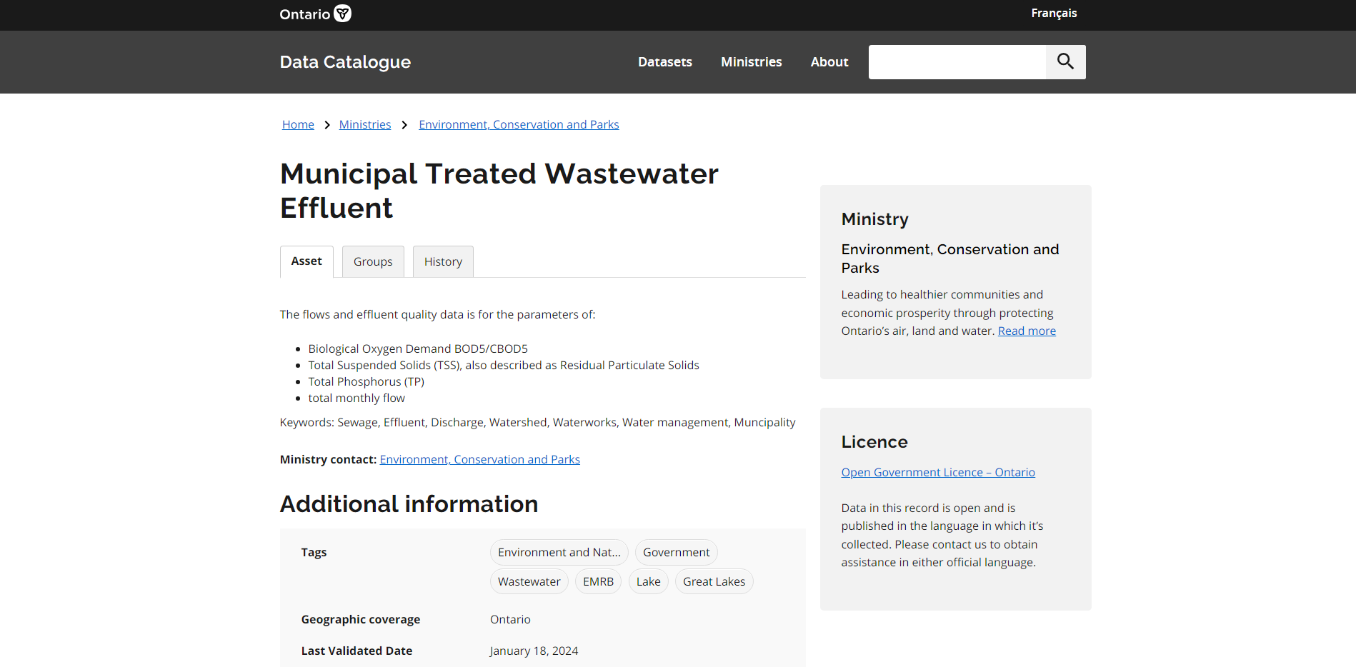
Municipal Treated Wastewater Effluent Data
The Municipal Treated Wastewater Effluent dataset from Ontario’s open data portal provides information on the treatment of wastewater by municipalities across Ontario. This dataset includes metrics such as effluent discharge volumes, effluent quality indicators (e.g., levels of Total Phosphorus, Total Suspended Solids etc.) , and compliance with regulatory standards.
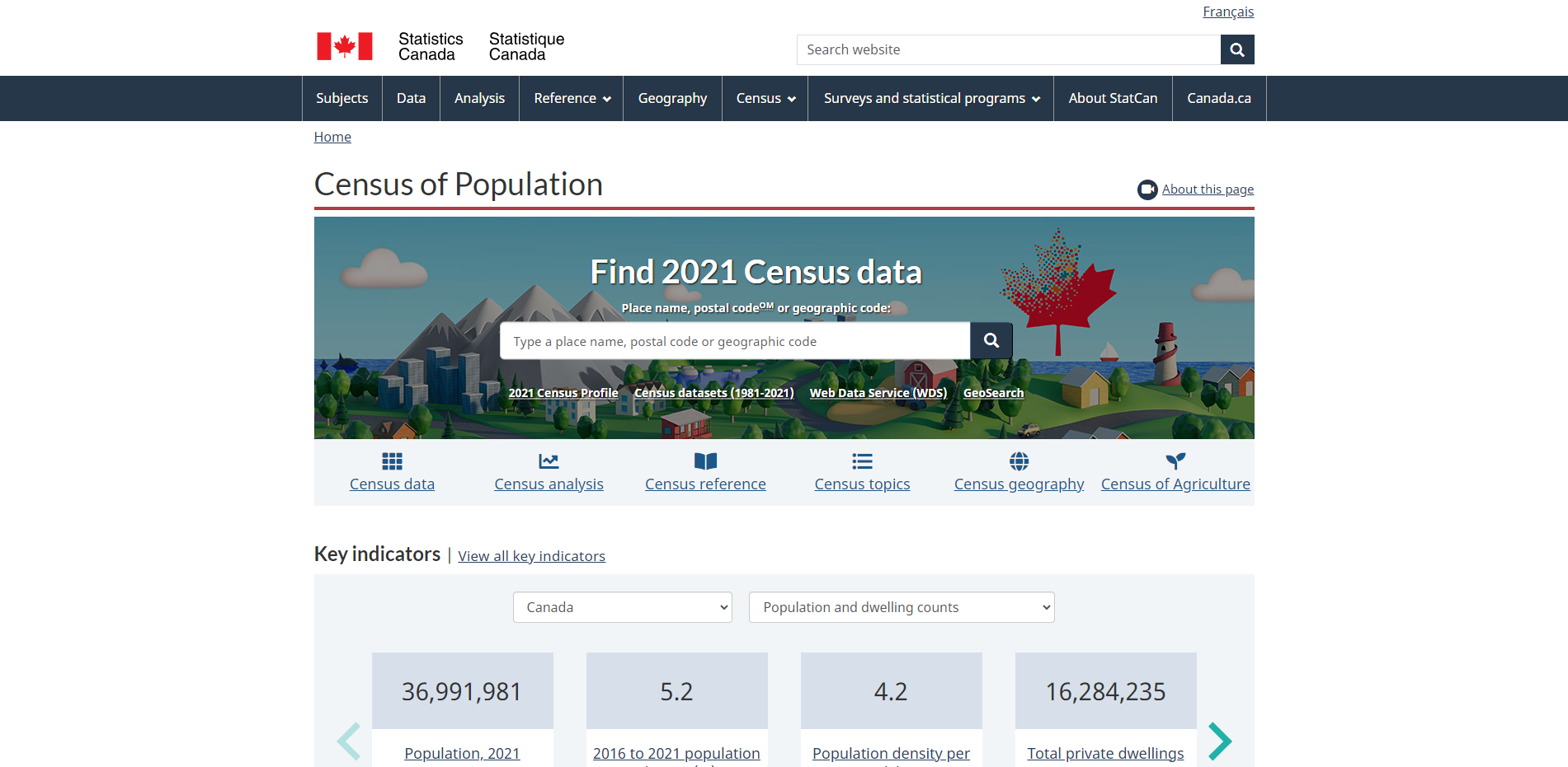
Statistics Canada Census Data
Statistics Canada’s Census of Population provides statistical data and information about the population, age, sex at birth and gender, type of dwelling, families, households and marital status, Canadian military experience, income, language, Indigenous peoples, housing, immigration, place of birth and citizenship, ethnocultural and religious diversity, mobility and migration, education, labour, and commuting as measured in the Census Program.
Government of Canada Historical Climate Data
Environment and Climate Change Canada provides historical weather, climate data, and related information for numerous locations across Canada. The dataset includes metrics such as temperature, precipitation, degree days, relative humidity, wind speed and direction, monthly summaries, averages, extremes and more.
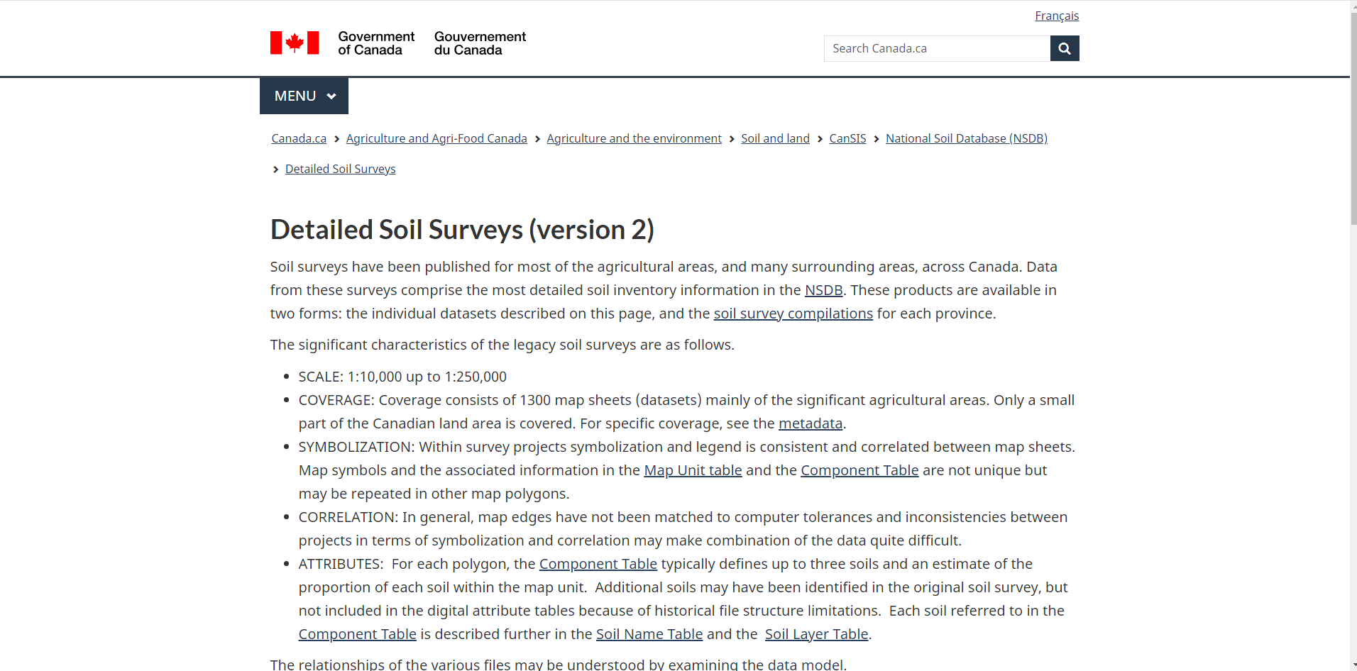
Government of Canada Detailed Soil Survey Data
Soil surveys have been published for most agricultural and surrounding areas across Canada. Data from these surveys comprise the most detailed soil inventory information in the National Soil Database.
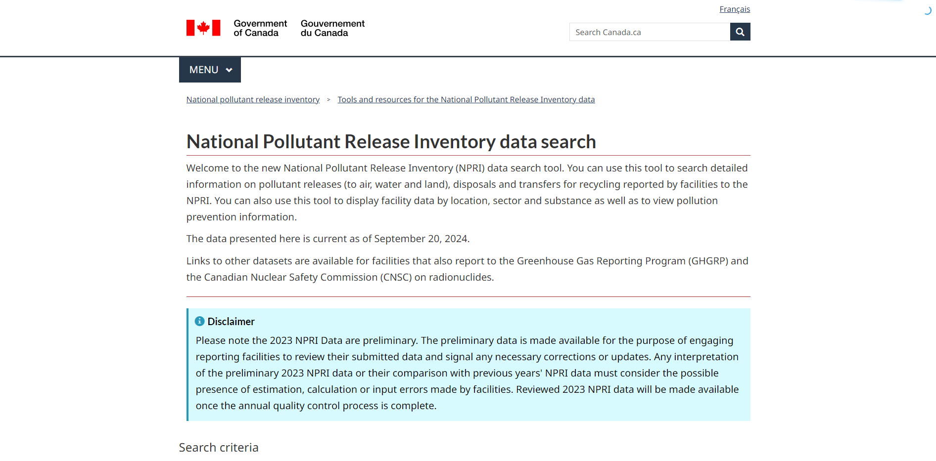
National Pollutant Release Inventory (NPRI) Data
NPRI provides detailed information on pollutant releases (to air, water and land), disposals and transfers for recycling, as reported by facilities. Facility data is displayed by location, sector and substance.
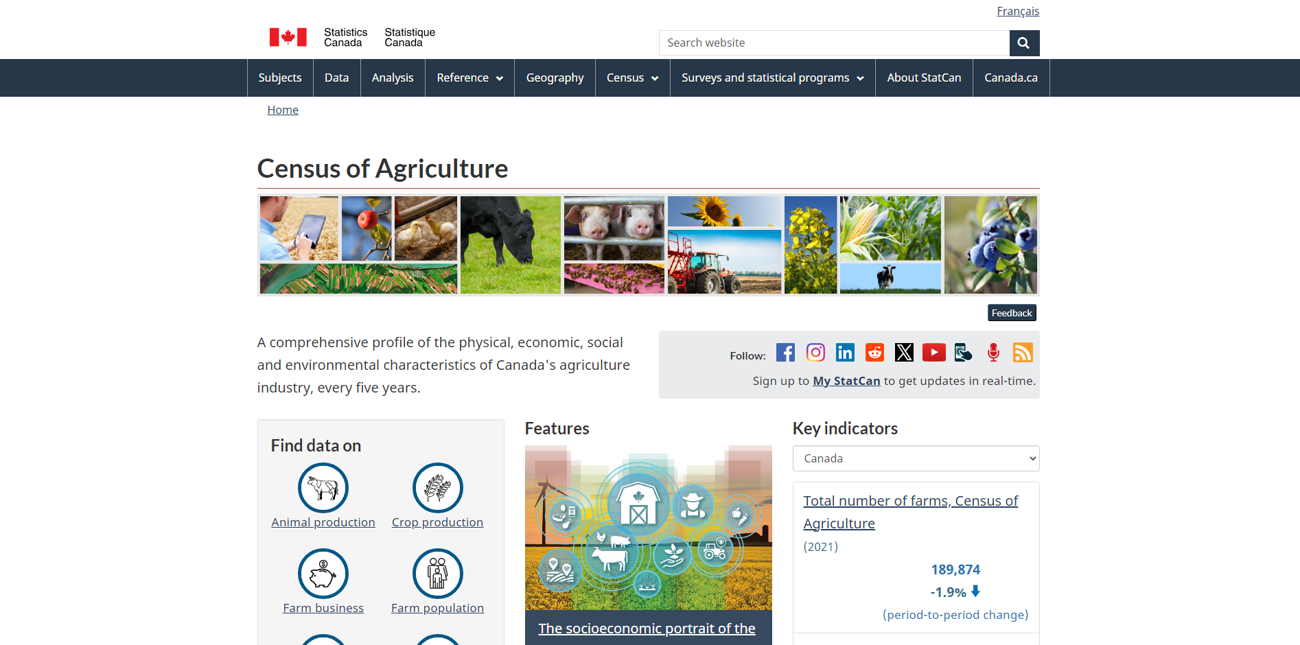
Government of Canada Census of Agriculture Data
The Census of Agriculture provides a comprehensive profile of the physical, economic, social and environmental characteristics of Canada's agriculture industry, every five years. The dataset includes a wide range of data at the provincial and sub provincial levels, such as the number of farms and farm operators, farm area, farm size, farm type, land use, crop areas, land management practices, livestock inventories, business operating arrangements, and more.